
20Uploads
3k+Views
1k+Downloads
Geography
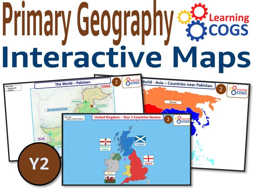
KS1 Year 2 Geography Mapping Skills – Local Area and Asia
This Year 2 geography resource focuses on local area knowledge (Yorkshire and the UK) and introduces an international comparison with Pakistan. Children explore continents, oceans, and the countries around Pakistan, including physical features like the Indus River.
Maps are simple, colourful, and clearly labelled, and the resource includes both political and topographic map types. Designed with dual coding to support all learners, it’s ideal for retrieval tasks, explicit teaching, and comparison lessons between local and global environments.
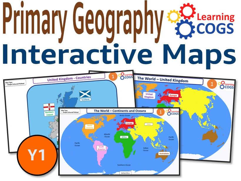
KS1 Year 1 Geography – Mapping Skills - The UK and the World
This Year 1 geography timeline builds on global awareness by introducing the continents, oceans, and a more detailed view of the United Kingdom. Children explore the names and locations of the four countries of the UK, as well as simple map features like compass points and surrounding oceans.
The slideshow uses clear, visual maps and simple labels to support pupils in learning key geographical vocabulary. It is fully editable for class displays, retrieval starters, or guided teaching.
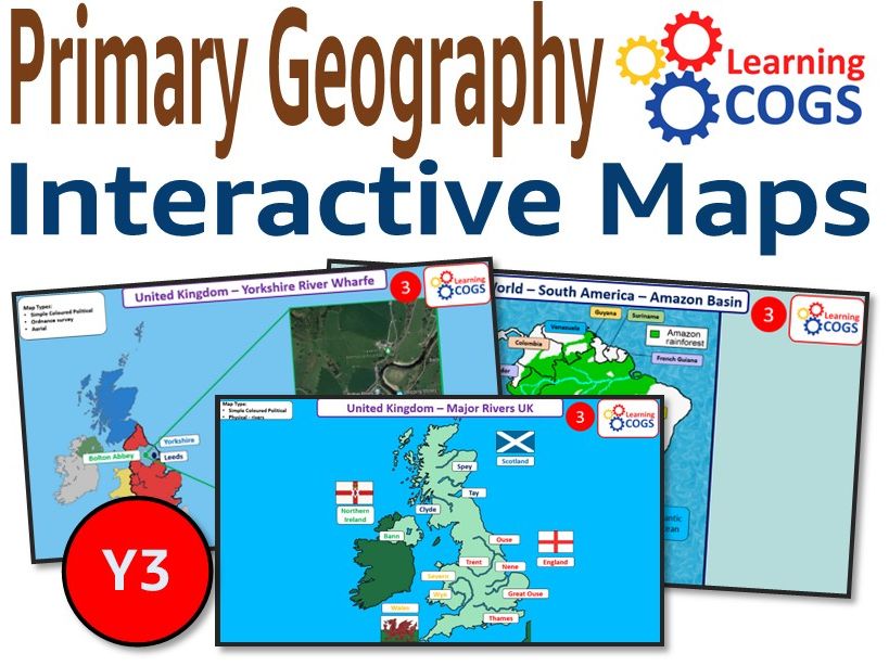
Year 3 Rivers and South America – Amazon Basin Geography PowerPoint | KS2 Map Skills Resource
Explore major world rivers and the Amazon Rainforest with this Year 3 geography resource. Includes UK rivers (Thames, Wharfe, Severn), South American features, relief maps, and aerial photographs.
This PowerPoint is ideal for KS2 map work, river comparisons, and geography retrieval practice. Supports vocabulary like basin, estuary, delta, and integrates well with history or science cross-curricular planning. Fully editable for classroom display and use.
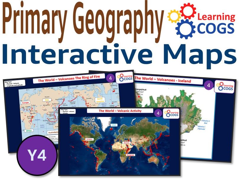
Year 4 Volcanoes and Rivers Geography PowerPoint – Ring of Fire, Vesuvius & Global Tectonics | KS2 M
Teach Year 4 geography through the dramatic lens of volcanoes and rivers. This editable PowerPoint explores Mount Vesuvius, Mount St Helens, and the Pacific Ring of Fire, reinforcing map skills through tectonic plates, topography, and river landforms.
Perfect for KS2 natural disasters units, volcano case studies, and geographical comparison. Includes dual coding visuals, OS-style symbols, and clear explanations of tectonic activity.
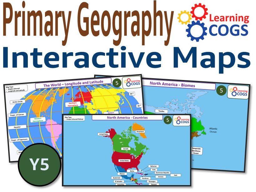
Year 5 Biomes, Climate Zones and Latitude – Editable World Geography PowerPoint | KS2 Earth Geograph
This Year 5 geography slideshow covers biomes, global climate zones, latitude and longitude, and the Tropics. Includes rivers such as the Amazon, Nile, and Mississippi, alongside physical and human geography comparisons across continents.
Ideal for KS2 world geography, science crossover, and map-based inquiry learning. Fully editable and suitable for whole-class teaching, SATs prep, or independent retrieval practice.
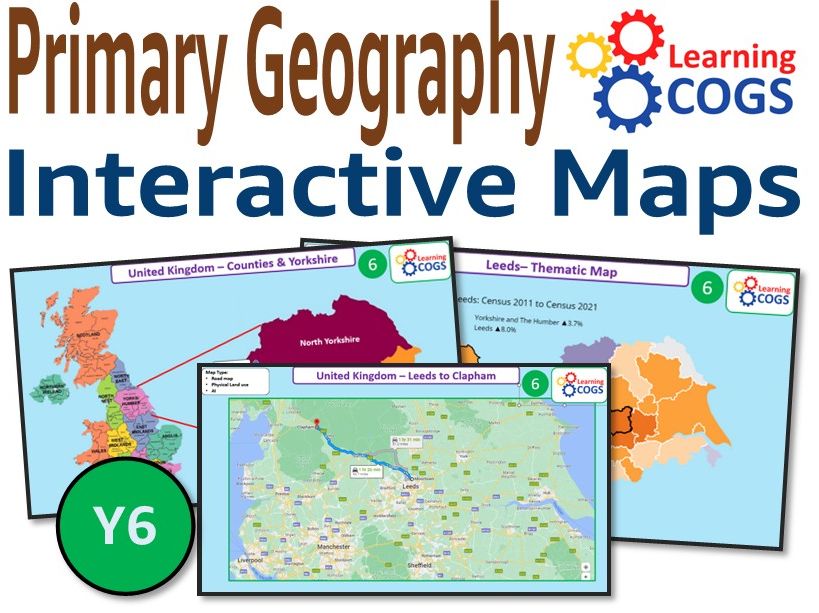
Year 6 Yorkshire Case Study & Global Map Revision – Editable KS2 Geography PowerPoint
This Year 6 geography revision resource focuses on a Yorkshire region case study, exploring counties, settlements, transport, and land use. Pupils consolidate prior learning on rivers, hemispheres, latitude/longitude, and human and physical geography.
Designed for KS2 map reading, thematic mapping, and transition to KS3 geography, this PowerPoint includes political, topographic, and demographic maps. Ideal for Battle of Britain location context, retrieval, and curriculum depth.