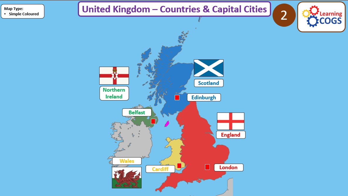
This Year 2 geography resource focuses on local area knowledge (Yorkshire and the UK) and introduces an international comparison with Pakistan. Children explore continents, oceans, and the countries around Pakistan, including physical features like the Indus River.
Maps are simple, colourful, and clearly labelled, and the resource includes both political and topographic map types. Designed with dual coding to support all learners, it’s ideal for retrieval tasks, explicit teaching, and comparison lessons between local and global environments.
Something went wrong, please try again later.
This resource hasn't been reviewed yet
To ensure quality for our reviews, only customers who have purchased this resource can review it
to let us know if it violates our terms and conditions.
Our customer service team will review your report and will be in touch.
ÂŁ3.00