The author grew up near the birthplace of the famous cartographer Gerard Mercator. Inspired by this great scientist and artist he went to study Physical Geography (BSc), Cartography (Masters) and Remote Sensing (Postgraduate). This website and its products are the result of more than 40 years of experience in Cartography, GIS and IT, both as a teacher and developer. He suffers from a form of ASD (Autism), which was only diagnosed at a late age. Please visit his Blogspot for more information.
The author grew up near the birthplace of the famous cartographer Gerard Mercator. Inspired by this great scientist and artist he went to study Physical Geography (BSc), Cartography (Masters) and Remote Sensing (Postgraduate). This website and its products are the result of more than 40 years of experience in Cartography, GIS and IT, both as a teacher and developer. He suffers from a form of ASD (Autism), which was only diagnosed at a late age. Please visit his Blogspot for more information.
In classical Greek mythology, Europe (Europa) is the name of either a queen of Crete or Phoenician princess. It means “wide-gazing” or “broad of aspect”. Europe was already described by classical Greek scholars; e.g. Ptolemy in his Geographia (150AD). The accompanying maps were worked out again by European cartographers at the end of the 15th century. It is also depicted on the T-O based Mappa Mundi of the middle ages, being one of the 3 then known ‘old’ continents (besides Asia and Africa). The first (printed) separate maps of Europe appeared in the early 16th century. Numerous maps made by famous cartographers would follow: e.g. Gastaldi (Italy), Mercator (Belgium), Speed (England), Sanson (France), Blaeu (Netherlands) and Homann (Germany).
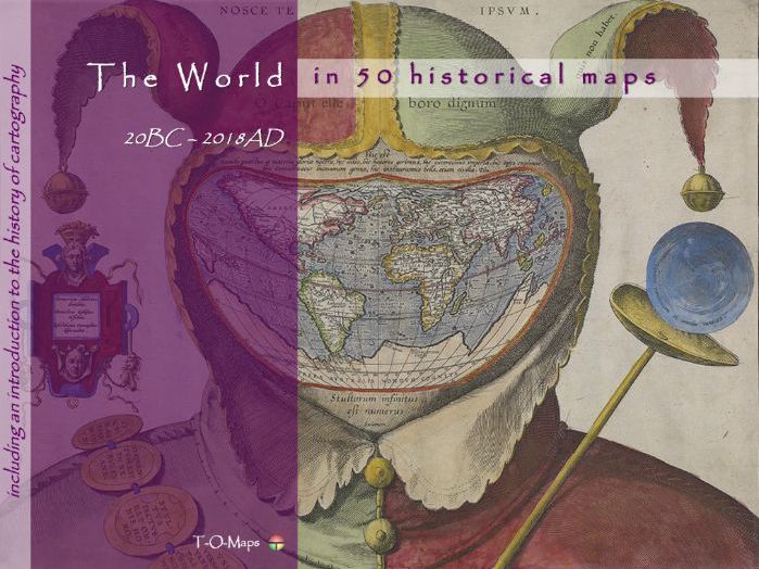
This world atlas comprises 50 carefully selected world maps plus a description of their makers. Furthermore it includes a comprehensive insight in the history of cartography and how and why maps are/were made. The e-atlas shows how the world has changed through time and how map making techniques have evolved. Each era is represented by a number of maps drawn by the most famous (European) cartographers of their time. From early classical & medieval maps, via maps of 16th/17th century atlases (Golden Age of Cartography), to contemporary computer-generated images.
Besides this world atlas, e-atlases of the 6 continents and separate e-atlases of more than 50 countries, distributed all over the world, are currently available. The provided e-atlases are not meant to replace the traditional printed atlases but are an addition and offer extra functionality (e.g. zooming in on geographic features). They can be downloaded as PDF-files; the files can be viewed using Acrobat Reader (version 10 or higher) and compatible applications.
Each historical e-atlas is composed of 4 sections. The first 3 sections describe the history of cartography and map making techniques in general. In the 4th or major section (Country maps and their Makers) the history of a specific country is visualized via a range of maps from important mapmakers in different era’s. The document is made up of duo pages; the right page displays the map of a given period, the left page contains text describing its creator and other details. Each atlas also includes an Appendix which contains a selection of common Latin terms that are used on ancient maps.
The historical e-atlases are suitable for reading and presentation purposes (in classrooms). The maps and their descriptions can be studied and printed at home or school. The main group of potential users are teachers and students in geography and history. Moreover, the atlases are useful to anyone who is interested in old maps of his/hers native or ancestors country.
For more (background) information please refer to the author’s Blogspot:
https://tomaps20.blogspot.com/