
Bring the Empire State to life in your elementary classroom with these useful New York geography printables!
This interactive 5+ page packet includes:
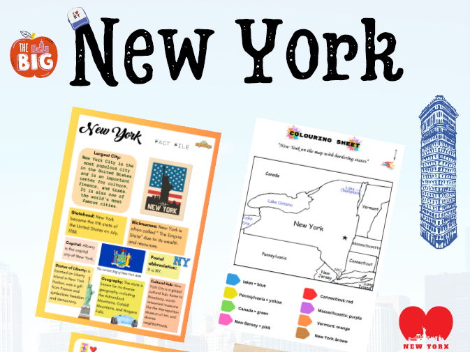
- Illustrated New York state map for coloring state borders and locating key features
- Fact file on New York’s history, economy, landmarks and more
- Engaging quiz activity with included answer key to test student knowledge
Young learners will love the hands-on activities that reinforce key geography concepts and regions of New York. These printables creatively combine maps, facts, multiple-choice questions, and coloring visuals to engage various learning styles.
Use them to enrich lessons on New York or northeast US geography! The activities are perfect for independent practice, centers, group work, or homework. Download this hands-on 5+ page resource now to reinforce geography skills!
Targets upper elementary grades
Fosters reading comprehension and critical thinking
Includes visual aids and instant feedback assessment
Something went wrong, please try again later.
This resource hasn't been reviewed yet
To ensure quality for our reviews, only customers who have purchased this resource can review it
to let us know if it violates our terms and conditions.
Our customer service team will review your report and will be in touch.
ÂŁ3.00