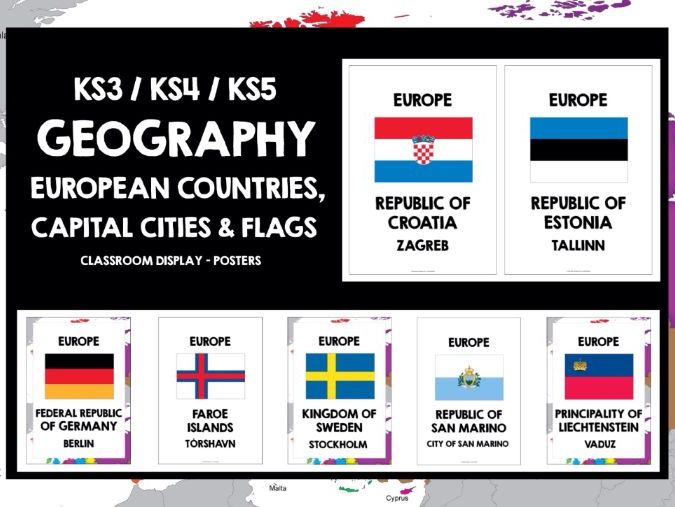
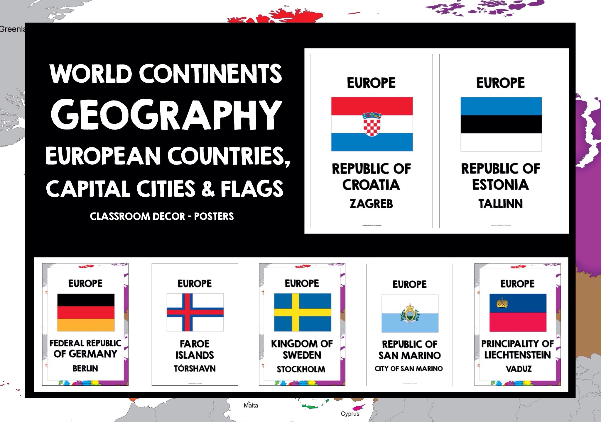

KS3 GEOGRAPHY KS4 GEOGRAPHY KS5 GEOGRAPHY EUROPE WORLD CONTINENTS EUROPEAN COUNTRIES AND CAPITAL CITIES POSTERS
Files are non-editable in a zipped format. This product is copyright, all rights reserved. It is illegal to copy, rewrite, amend, share or distribute outside your own classroom in any way. The license for purchase is a single-user license only. School / departmental licenses are available. Please read the Terms of Use carefully.
An instant and comprehensive introduction to Europe, ideal for developing locational knowledge and awareness of world continents in geography class, and a great way to discover Europe, its countries, capital cities and national flags. The posters give the learning environment a real multinational ambiance, and there may be a number of countries and capital cities that students do not know, or are not aware of - the posters help them develop their general awareness, knowledge and understanding of the geographical scope of Europe.
The set features a range of islands, such as the Faroe Islands, as well as several countries, for example Armenia, that are classed as belonging to Asia, but also lie partly in Europe. Several countries, for example France, officially known as the French Republic, feature two posters: choose either France or the official name to display. It's useful to show students a world map so that they can visualise the location of Europe globally, as well as the location of each individual country, and where it lies in relation to other countries across Europe. This gives students a real-world context to their learning.
Laminate the posters if possible, as they will display really well, and remain in excellent condition for years. There are two backgrounds - either plain, to keep prep costs to a minimum, or the European map.
THANKS AND HAVE A GREAT TRIP AROUND EUROPE!
Something went wrong, please try again later.
Great resource but the flag on the Italy poster is wrong.
Quality resource. Engaging classroom display.
to let us know if it violates our terms and conditions.
Our customer service team will review your report and will be in touch.
ÂŁ7.50