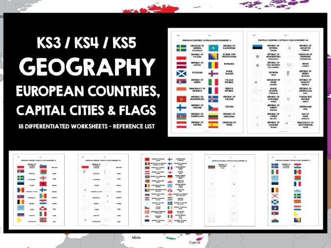

KS4 GEOGRAPHY EUROPE KS3 GEOGRAPHY EUROPE WORLD CONTINENTS EUROPEAN COUNTRIES, CAPITAL CITIES AND FLAGS 18 DIFFERENTIATED WORKSHEETS WITH REFERENCE LIST
Files are non-editable in a zipped format. This product is copyright, all rights reserved. It is illegal to copy, rewrite, amend, share or distribute outside your own classroom in any way. The license for purchase is a single-user license only. School / departmental licenses are available. Please read the Terms of Use carefully.
Ideal for developing locational knowledge and awareness of world continents in geography class, and a great way to discover Europe, its countries, capital cities and national flags. Students can develop their knowledge of the geography and scope of Europe in a cooperative, communicative and interactive way independently of the teacher. It’s useful to screen a world map the first time that students engage with the worksheets, so that they can visualise the location of world continents, the location of Europe in relation to them, the scope of its countries and capital cities, and where they lie in relation to each other. This provides a really important context for their learning.
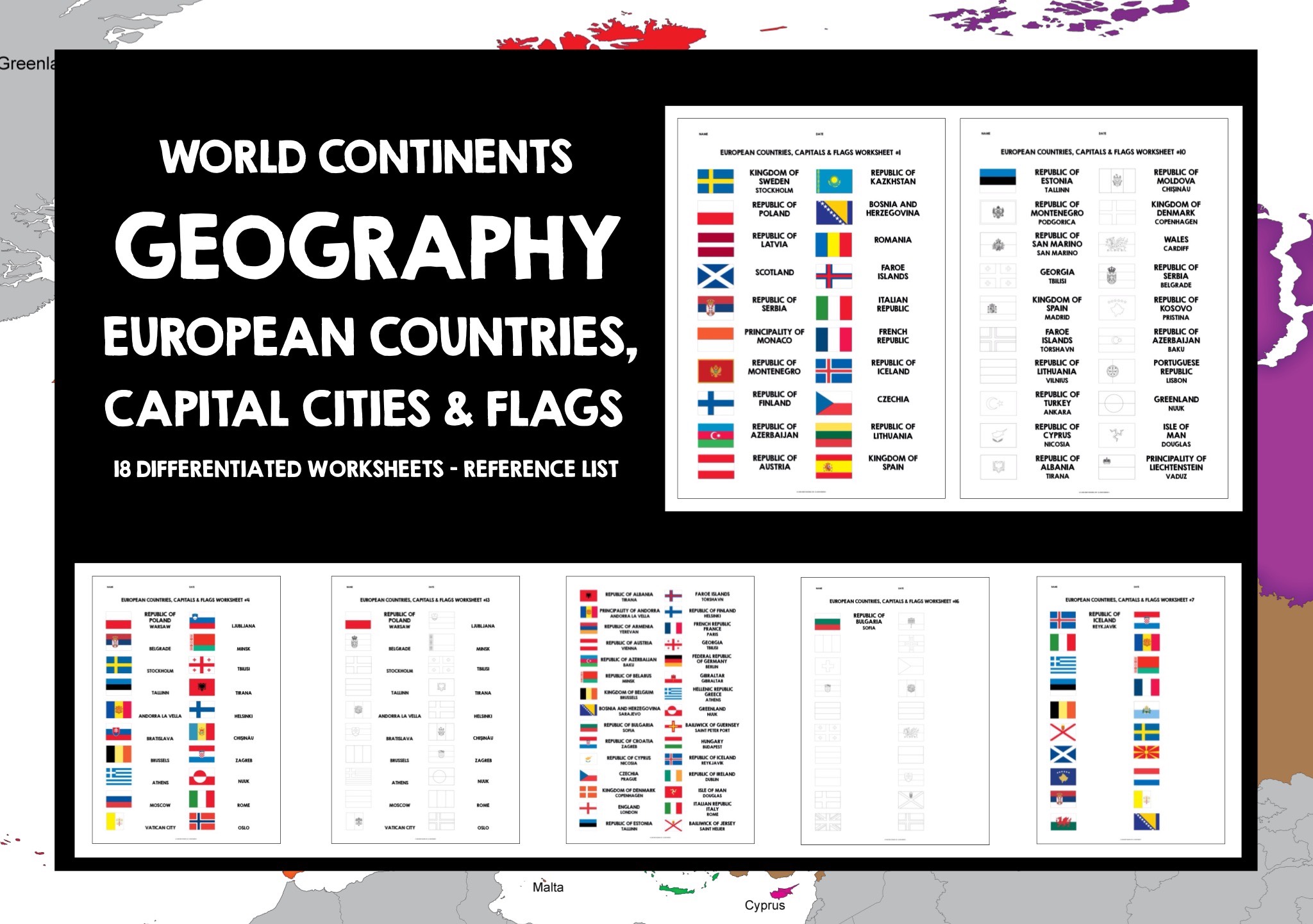
The set features 60 European countries, including several, such as Armenia, which lies only partly in Europe. There are 18 worksheets, with an alphabetical reference list featuring countries, capital cities and national flags. The worksheets are differentiated, increasing in challenge as students work through them. Although it increases prep costs, try to print the relevant worksheets in colour. However, if students have the reference list in color, they can still engage successfully with the worksheets if you are unable to print those in color. Students require a range of colour pens / pencils or crayons in order to complete the worksheets.
The set includes the following files:
= Worksheets 1-3: flags are in colour with a country prompt, students give the capital city.
= Worksheets 4-6: flags are in colour with a capital city prompt, students give the country.
= Worksheets 7-9: flags are in colour, students give both the country and the capital city.
= Worksheets 10-12: flags are blank with a country and capital city prompt, students recreate the flag.
= Worksheets 13-15: flags are blank with a capital city prompt, students recreate the flag and give the country.
= Worksheets 16-18: flags are blank, students recreate the flag and give both the country and capital city. Several blank flags look very similar, and students have to really focus across these worksheets to ensure they have captured all the European flags. All files are non-editable for copyright reasons.
= 2-page colour reference list, featuring countries, capital cities and national flags
The Lively Learning Classroom has a wide range of geography resources, including special offer bundles and freebies.
THANKS AND ENJOY YOUR TRIP AROUND EUROPE!
Something went wrong, please try again later.
This resource hasn't been reviewed yet
To ensure quality for our reviews, only customers who have purchased this resource can review it
to let us know if it violates our terms and conditions.
Our customer service team will review your report and will be in touch.
ÂŁ6.00